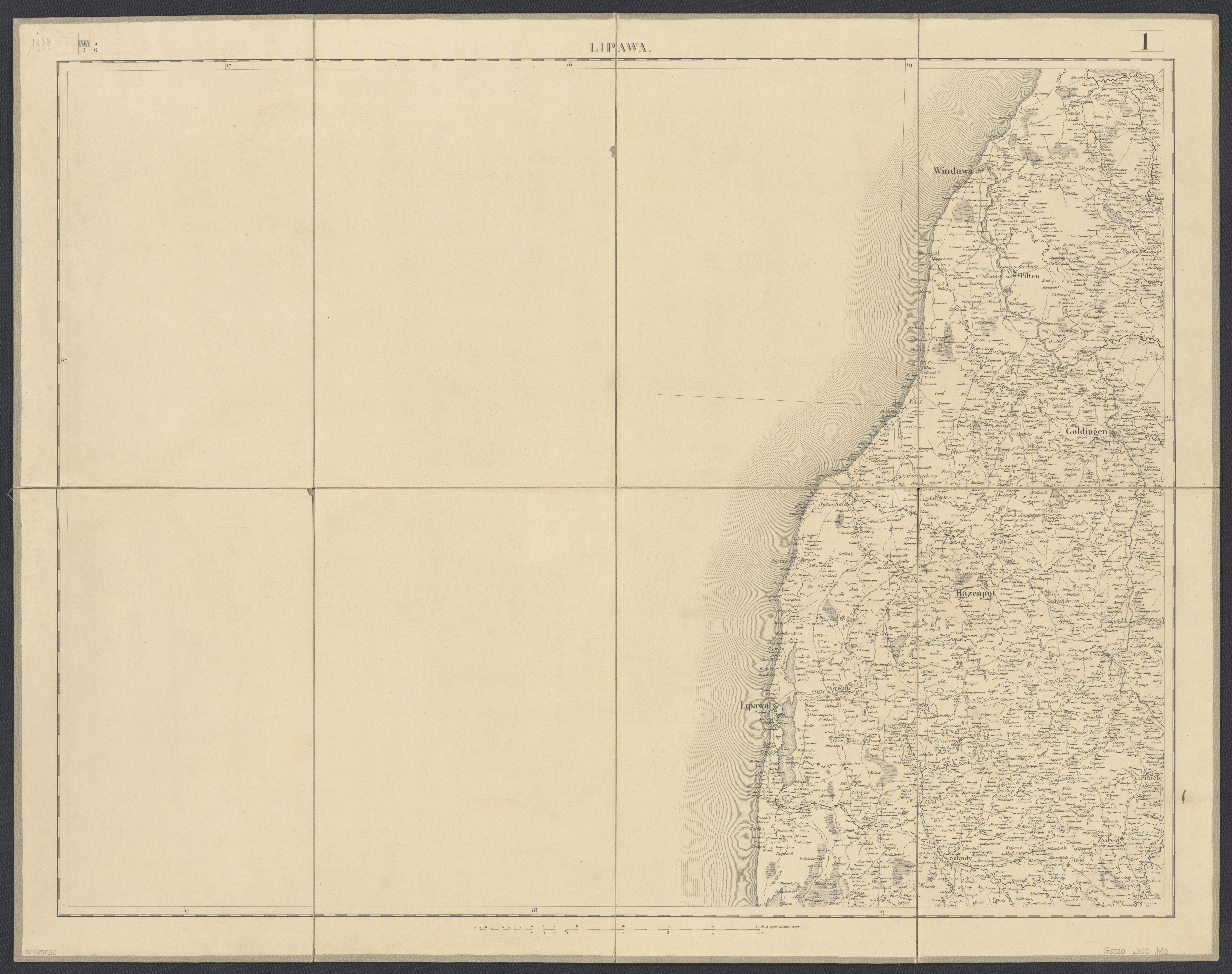
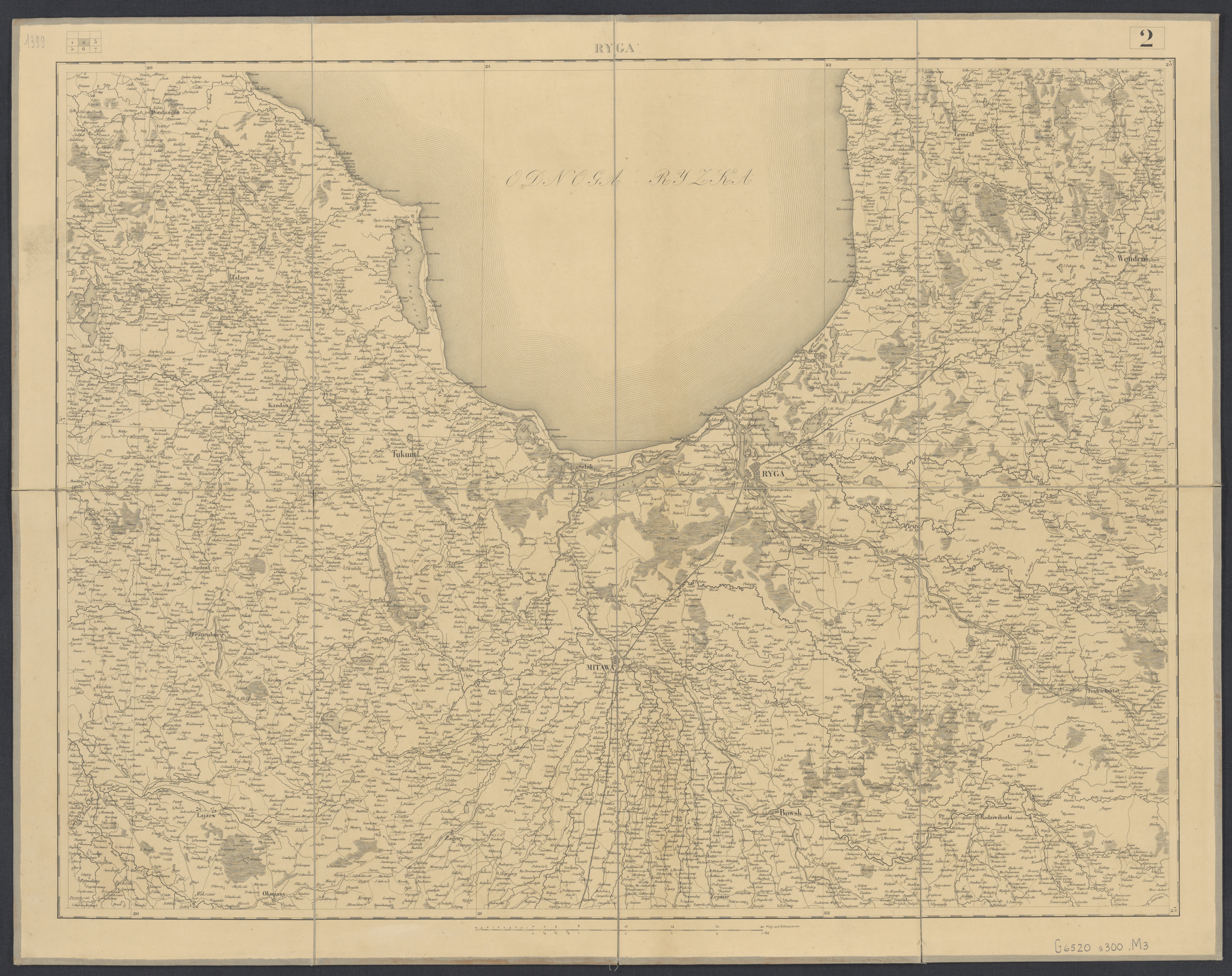
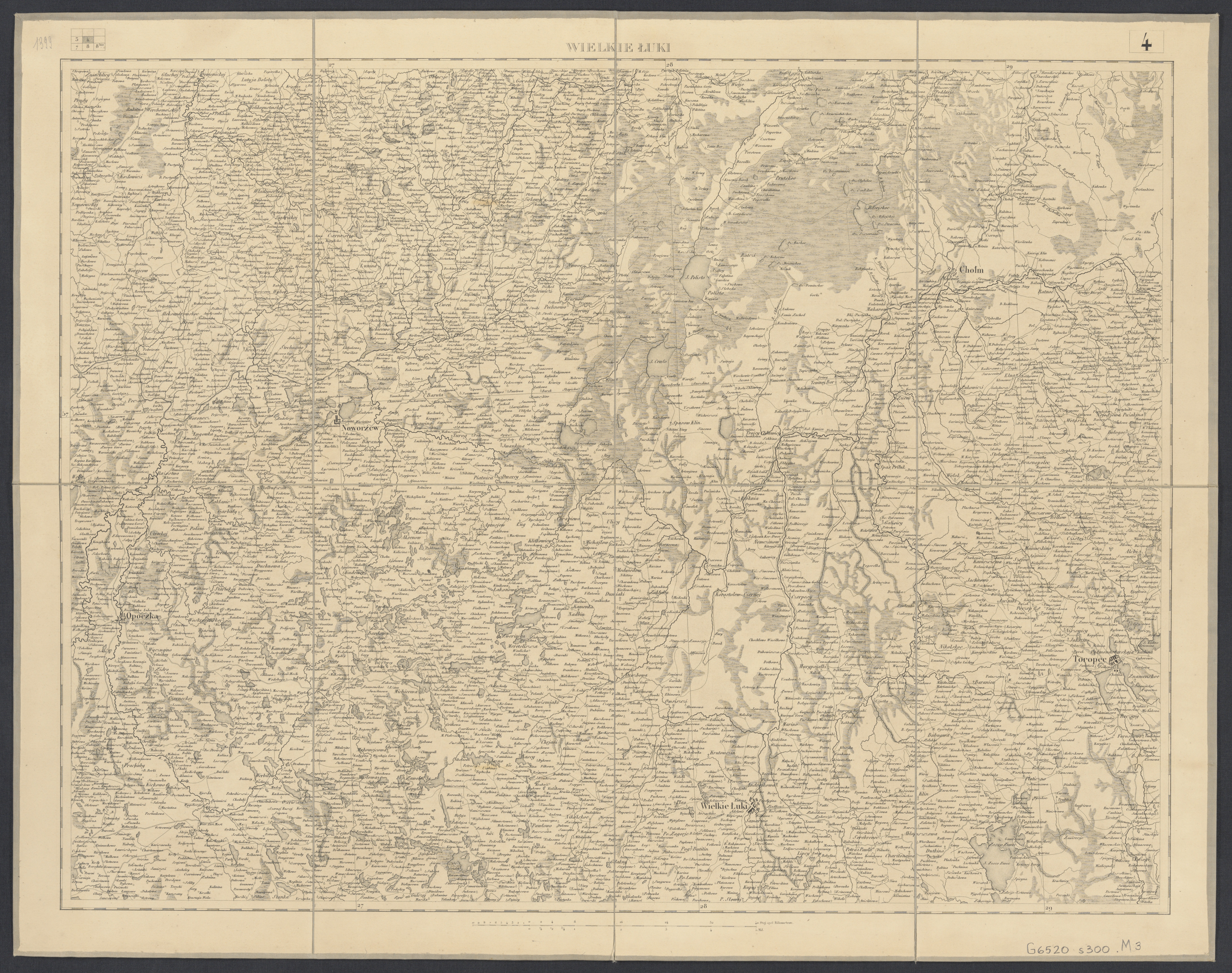
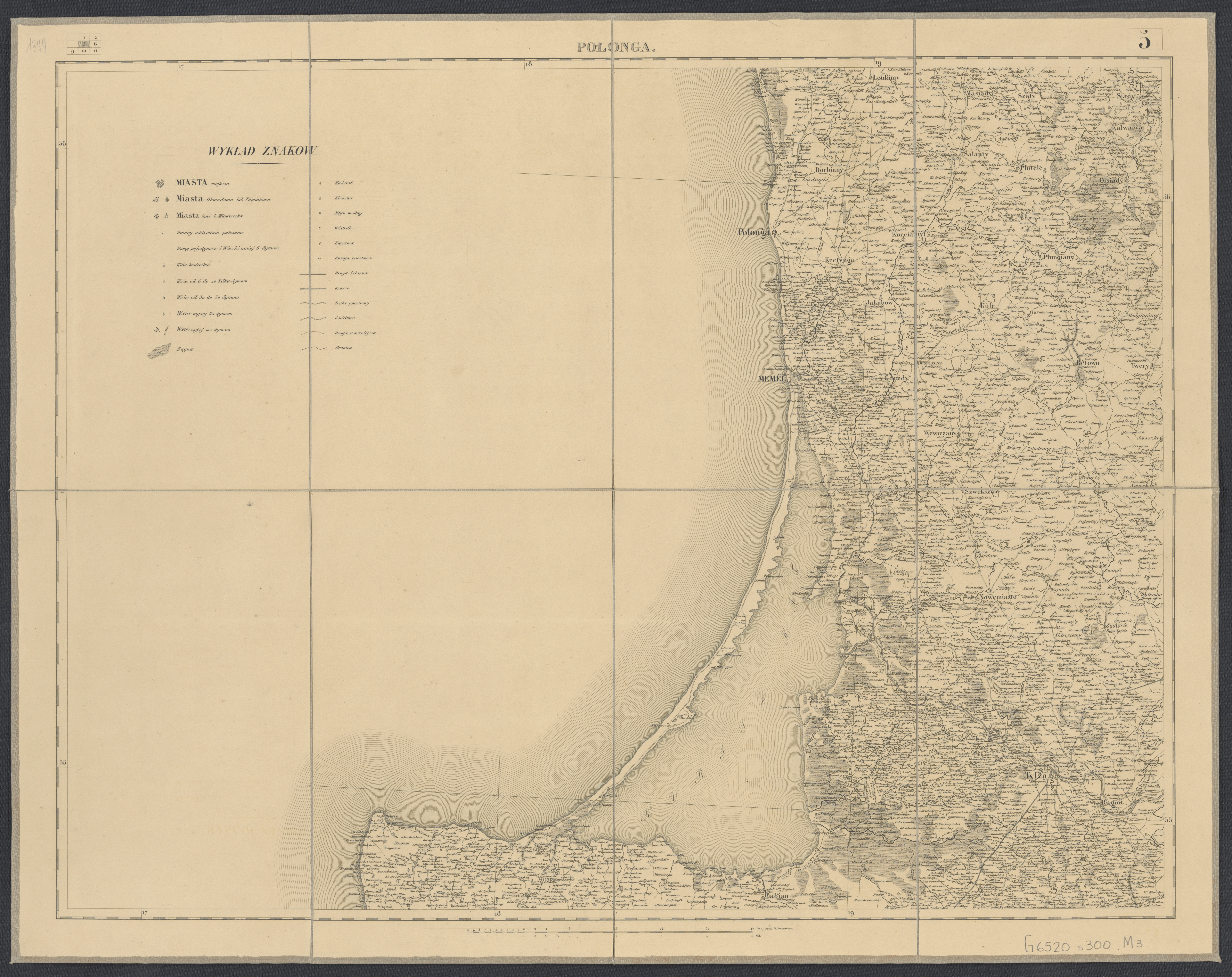
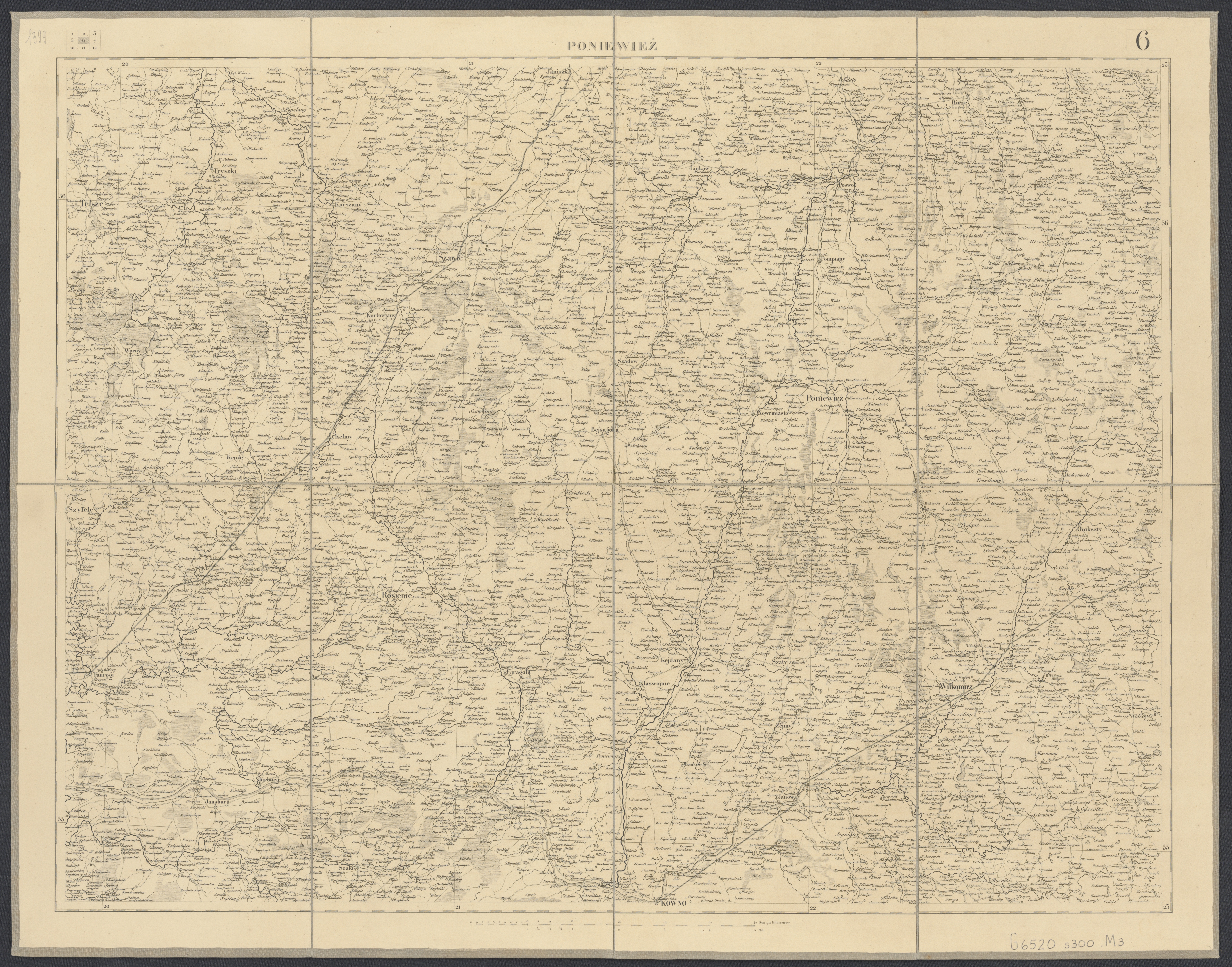
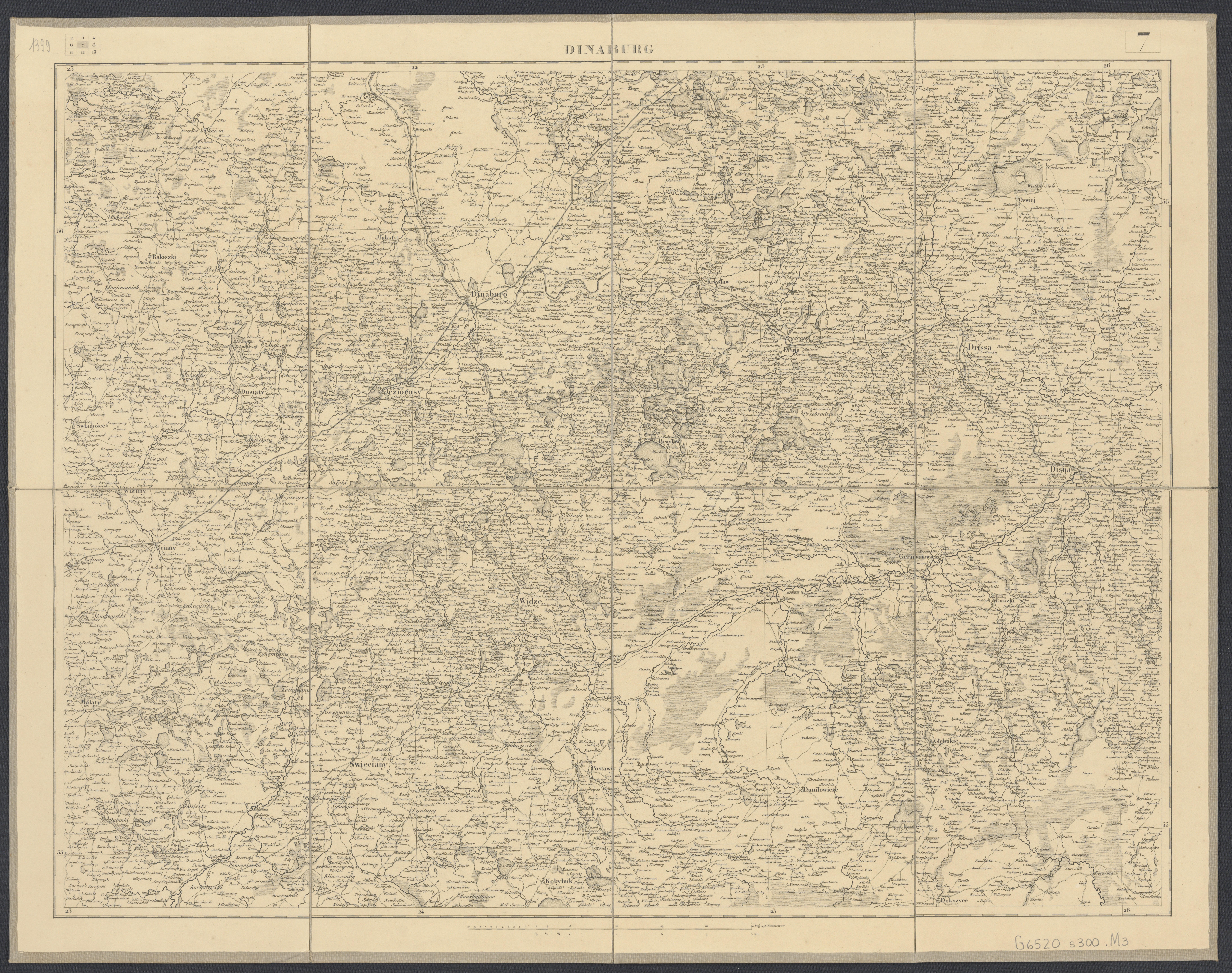
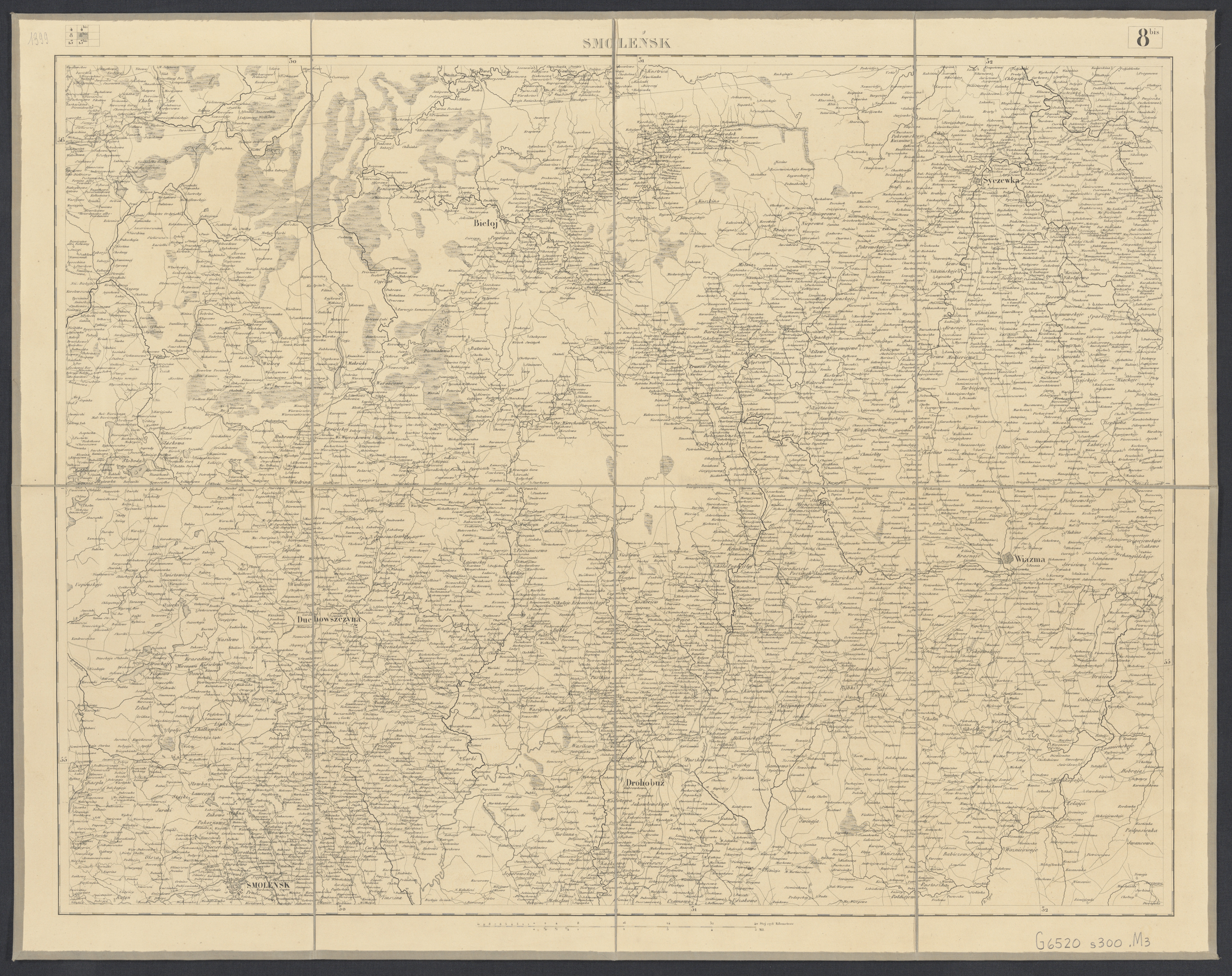
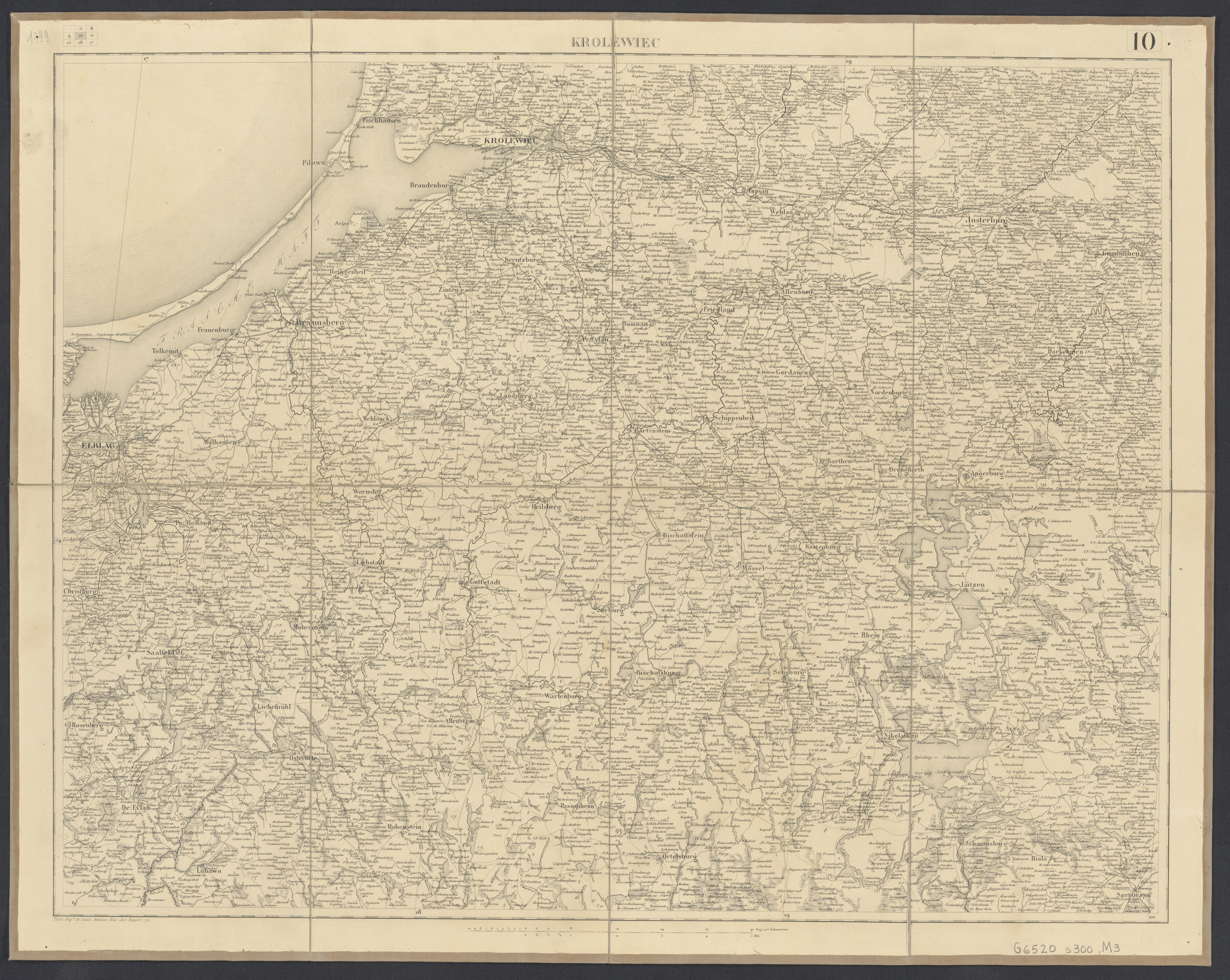
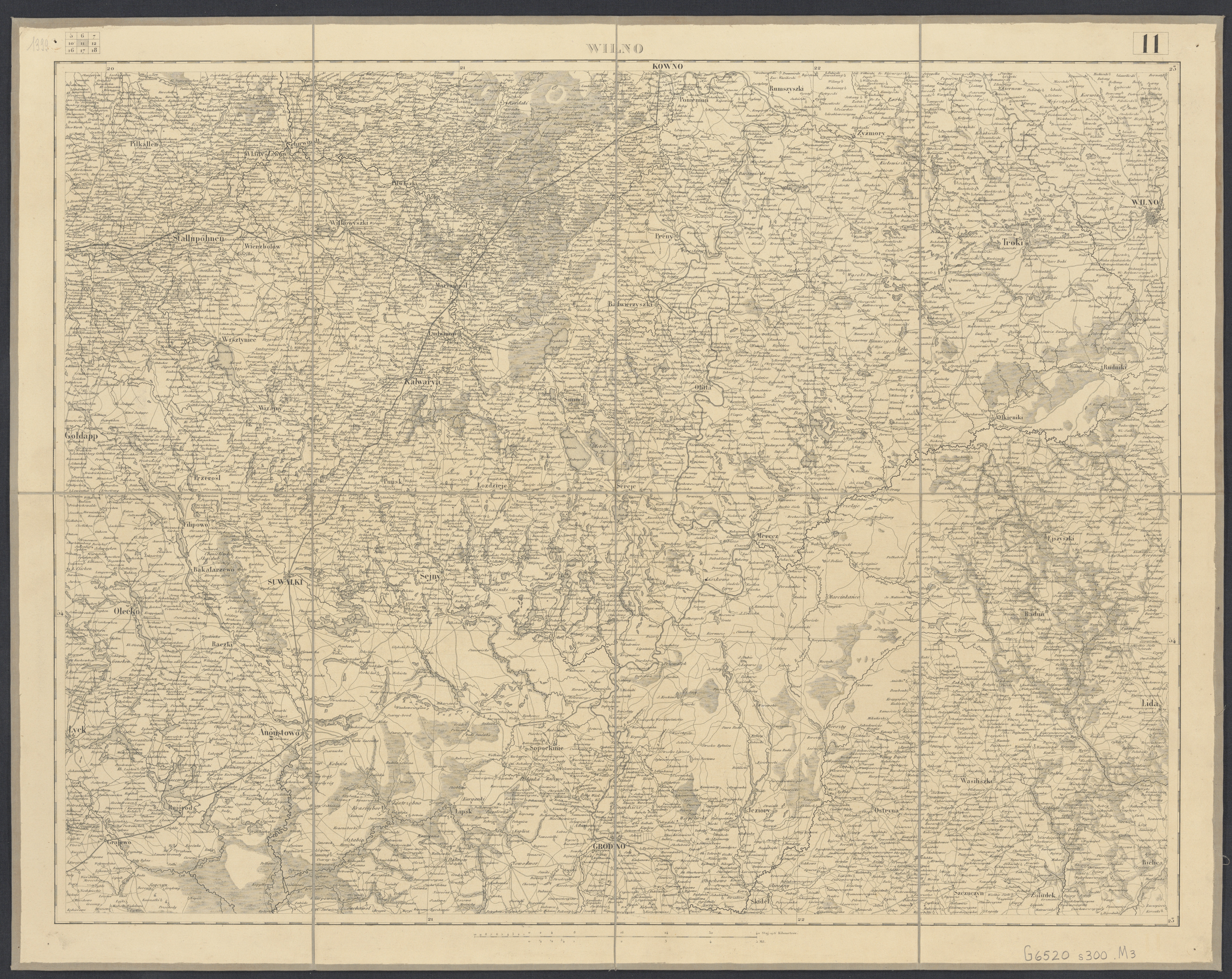
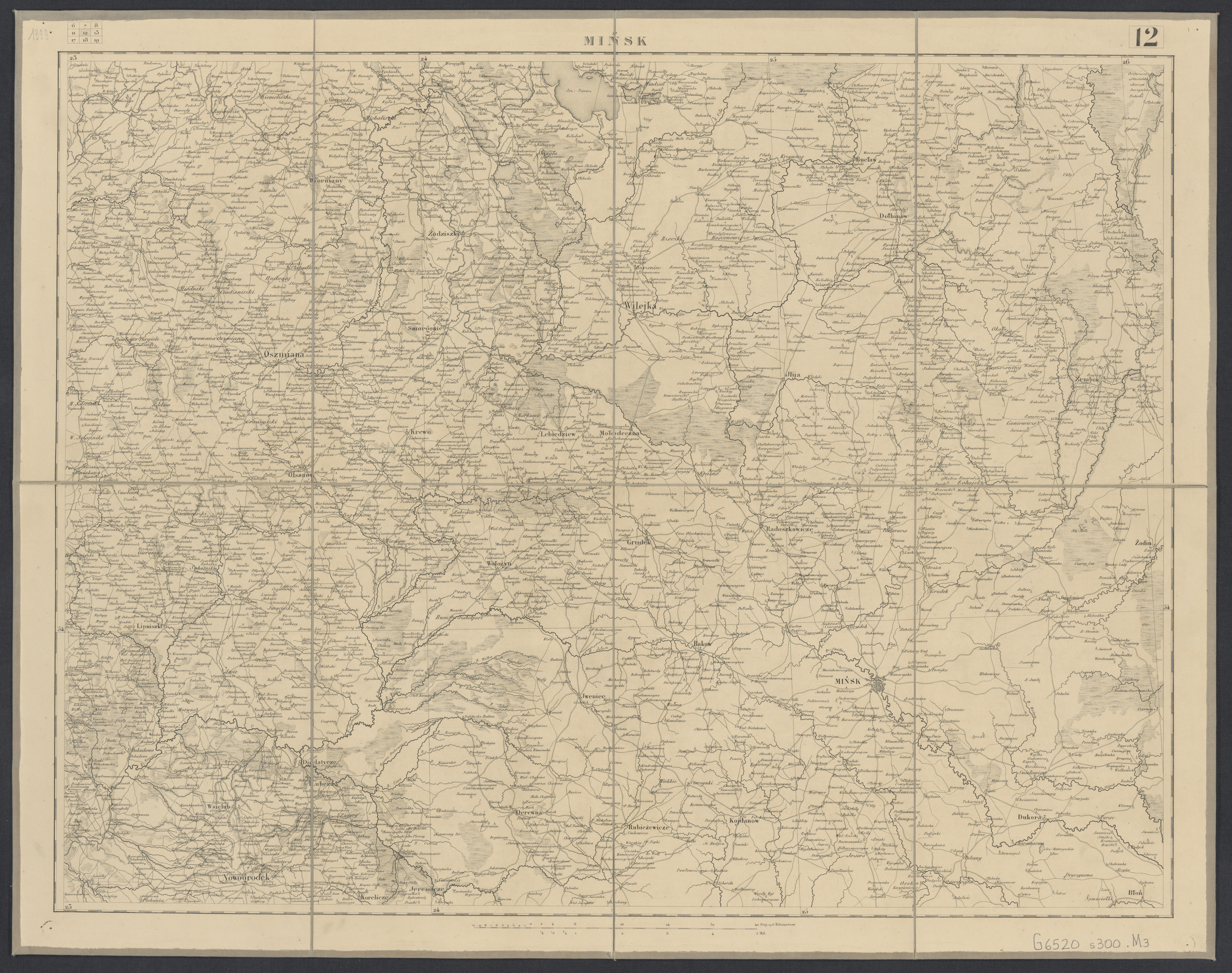
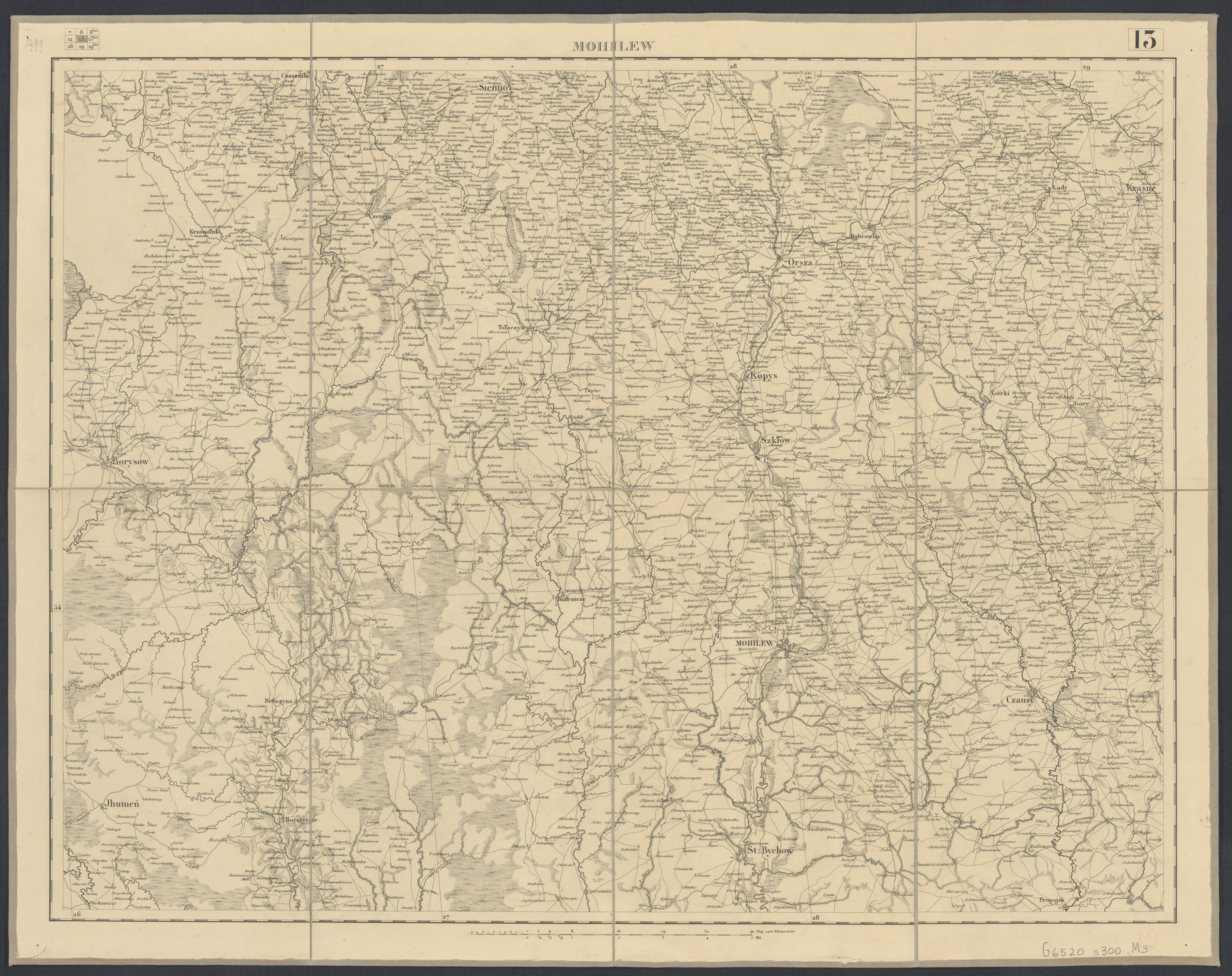
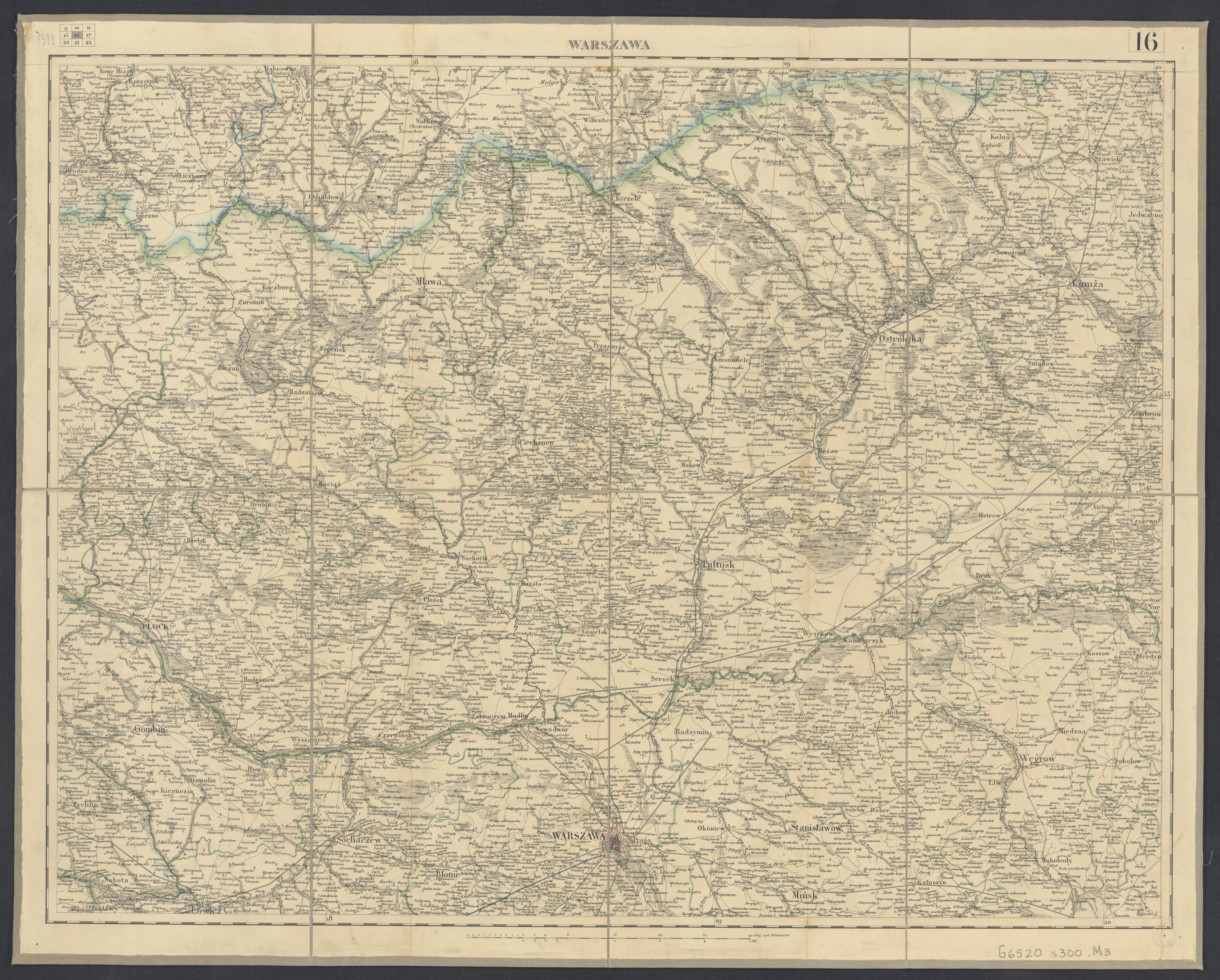
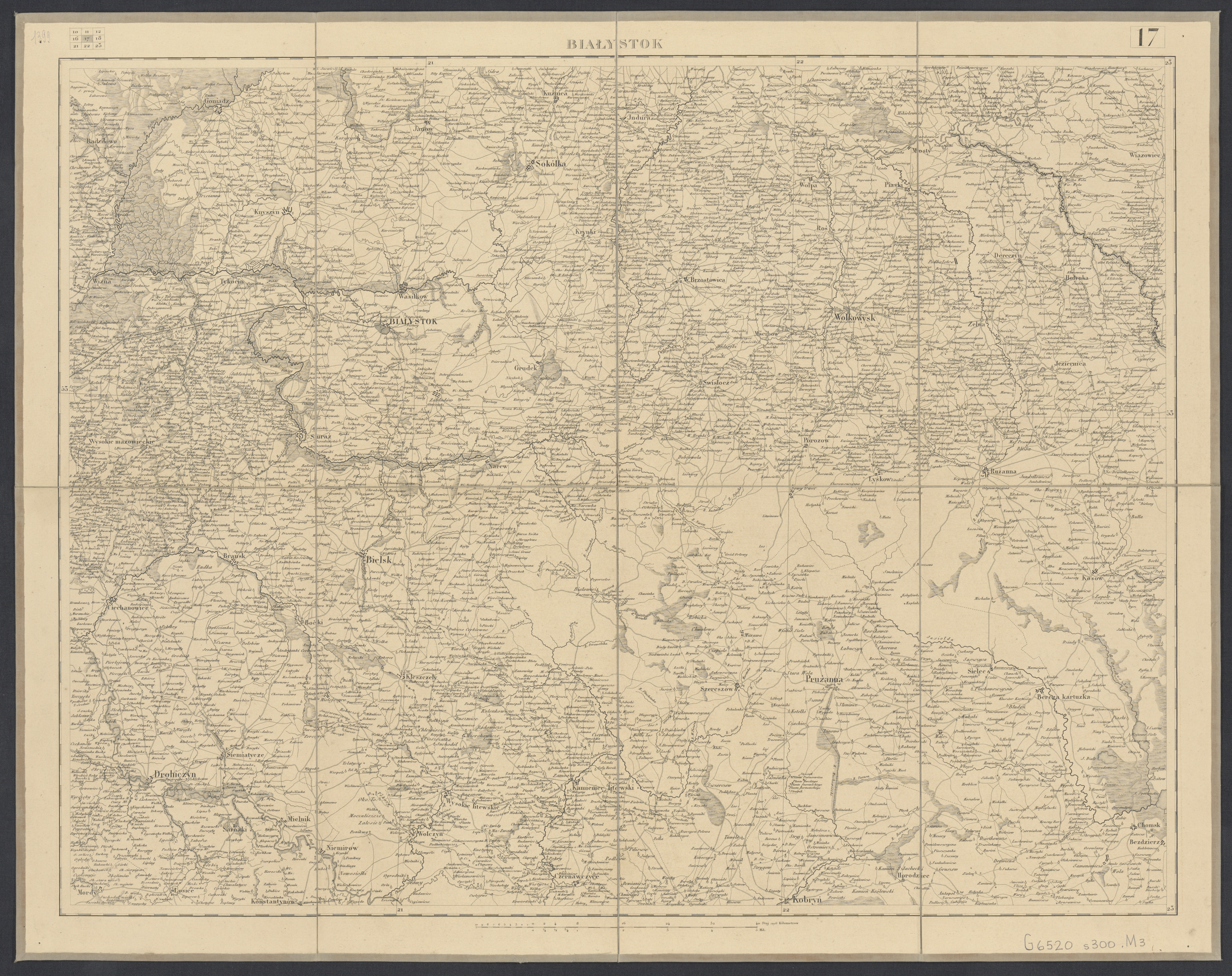
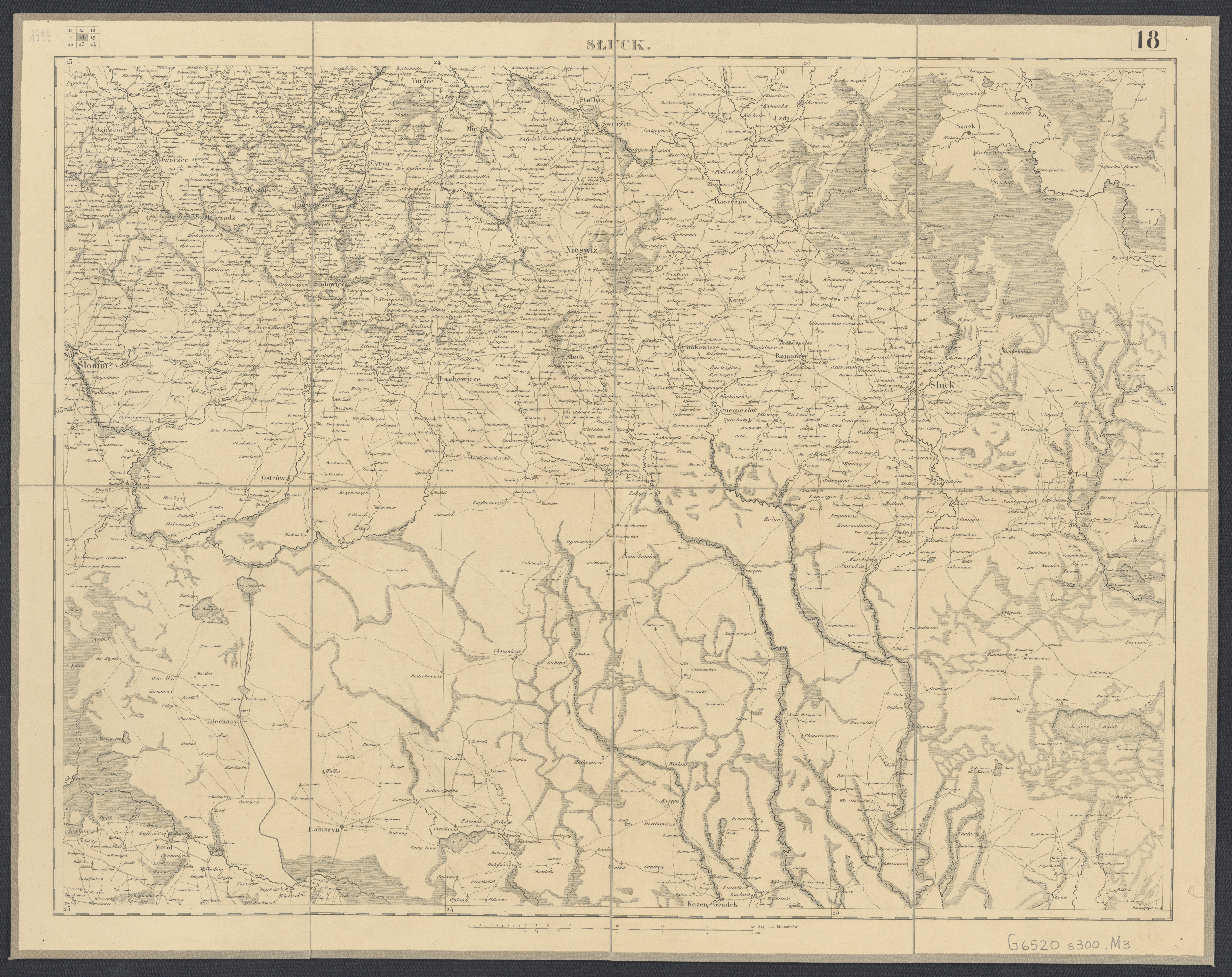
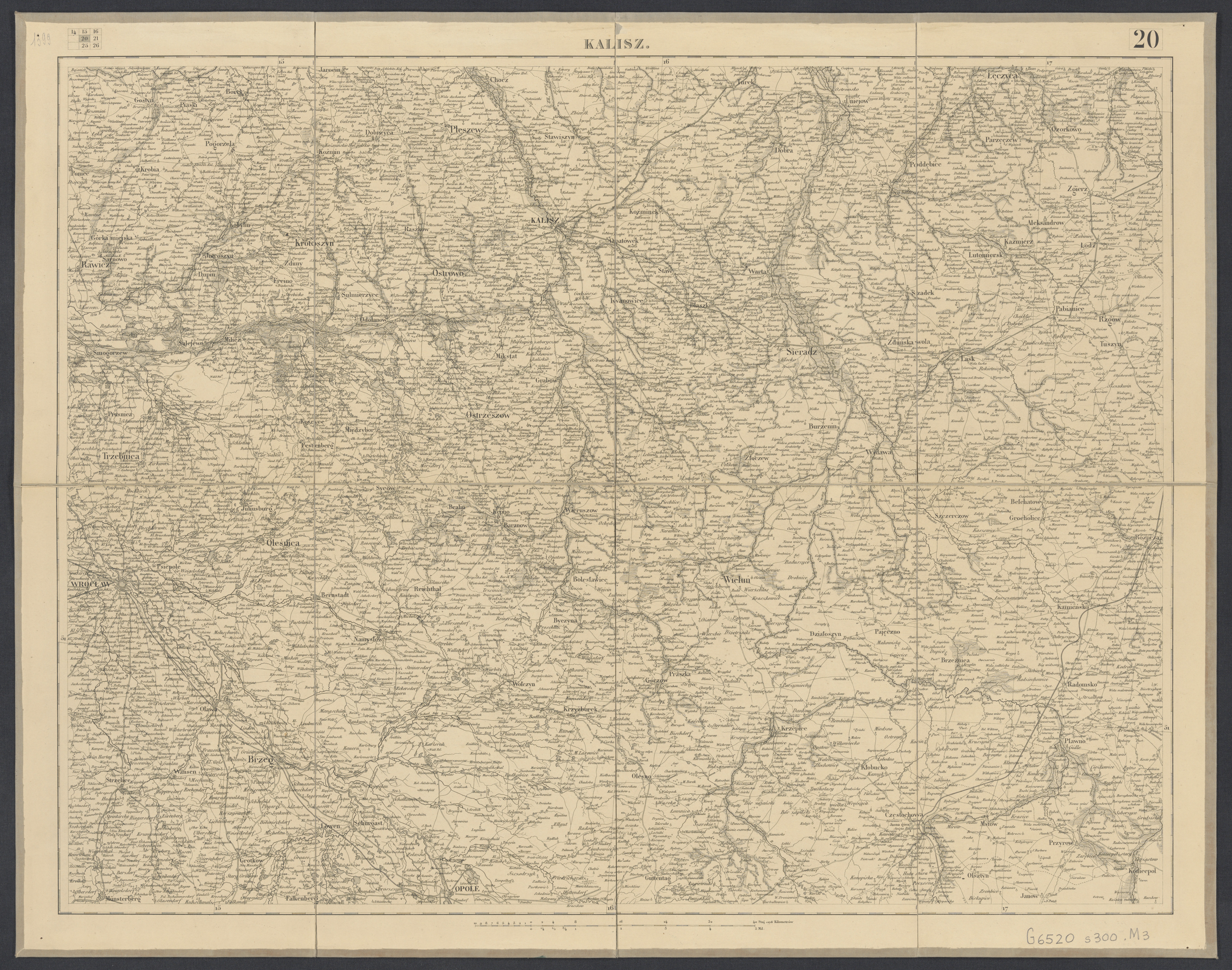
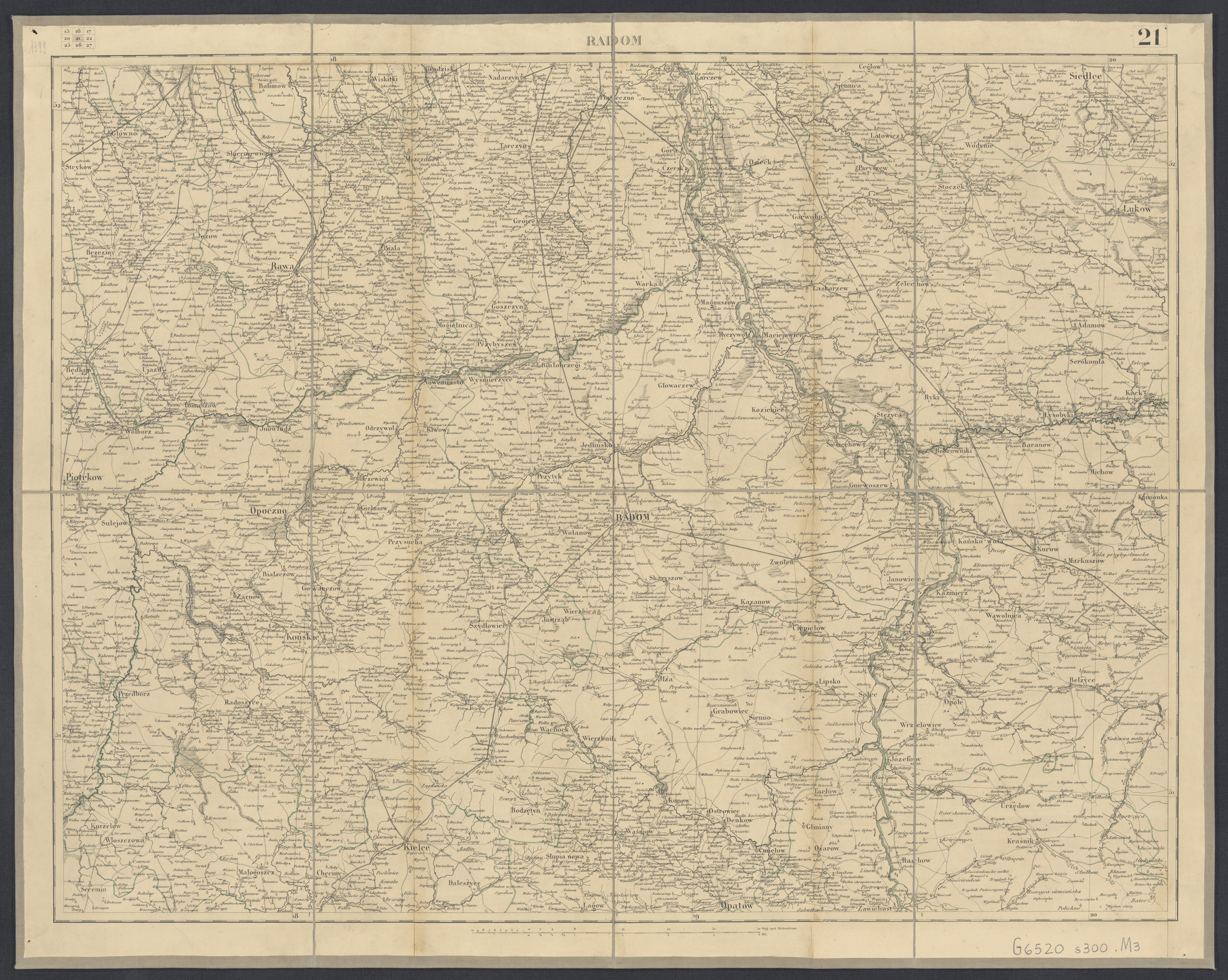
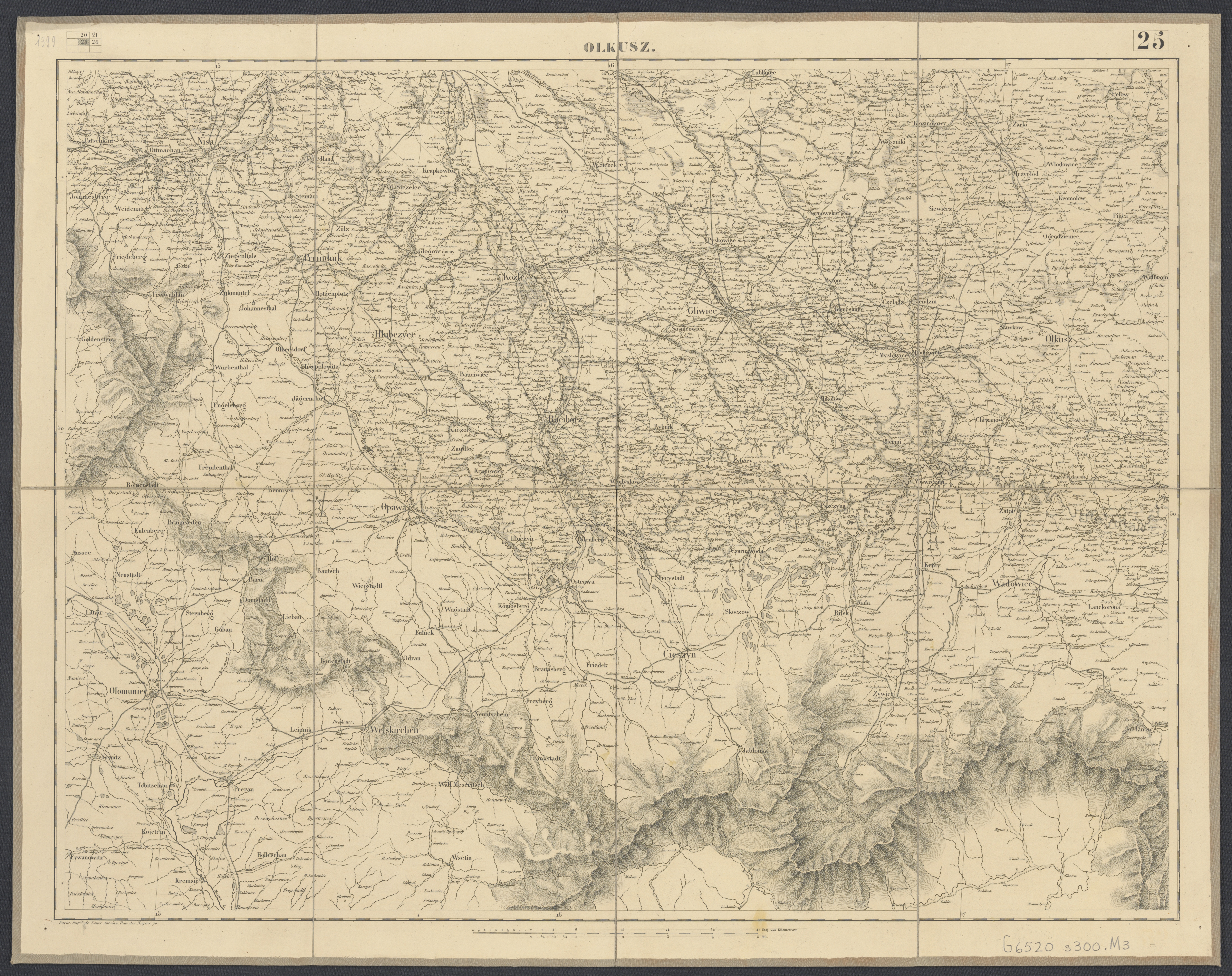
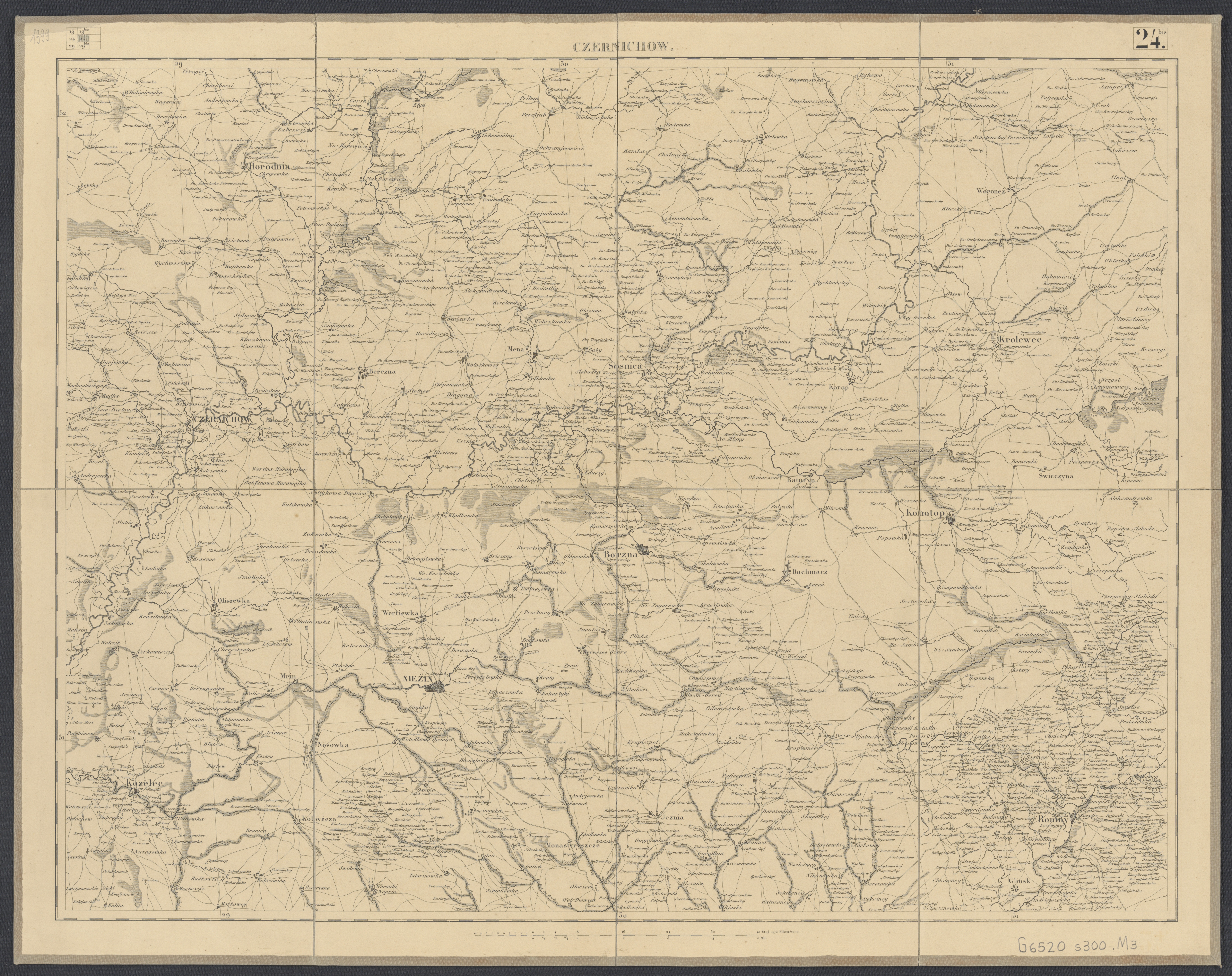
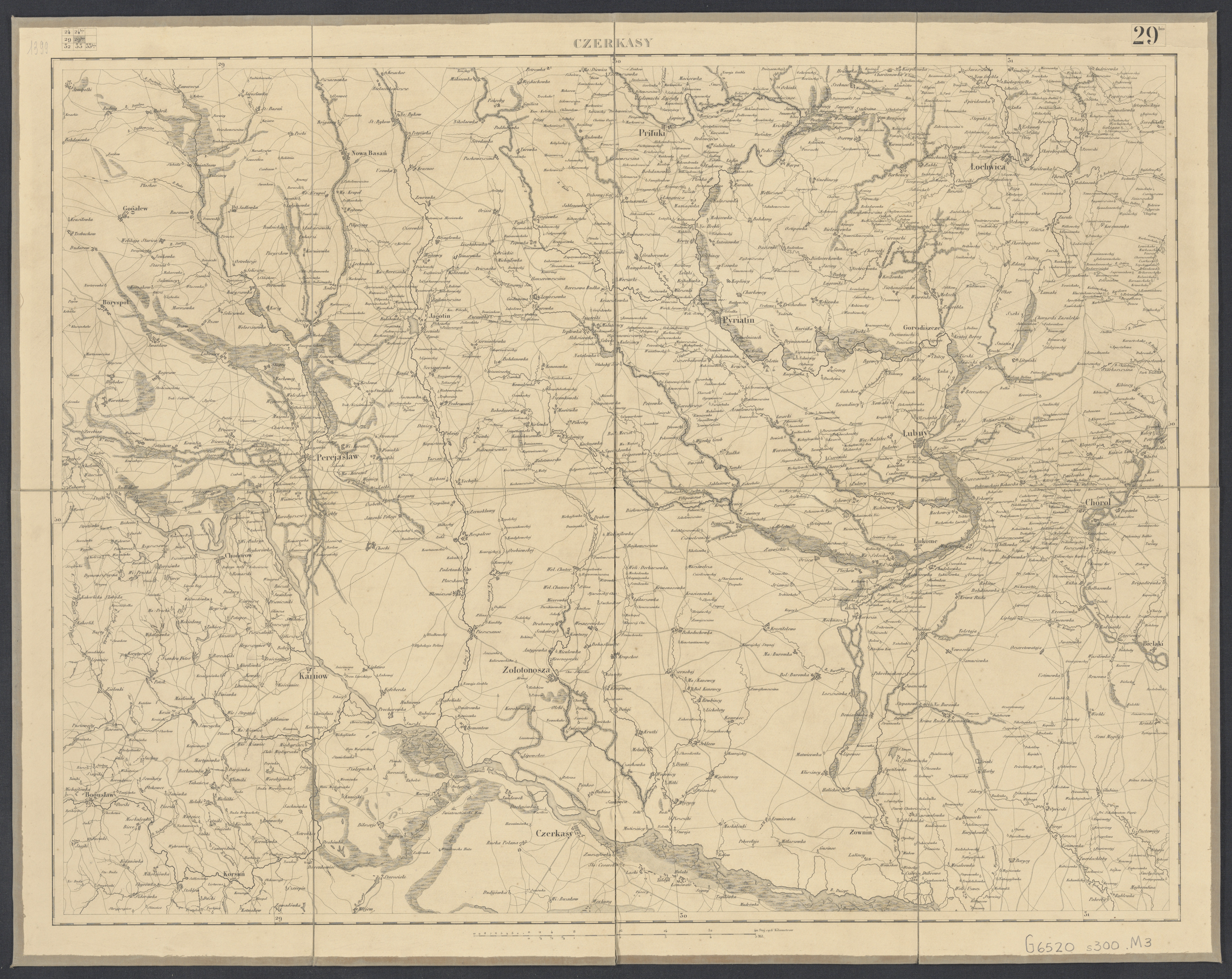
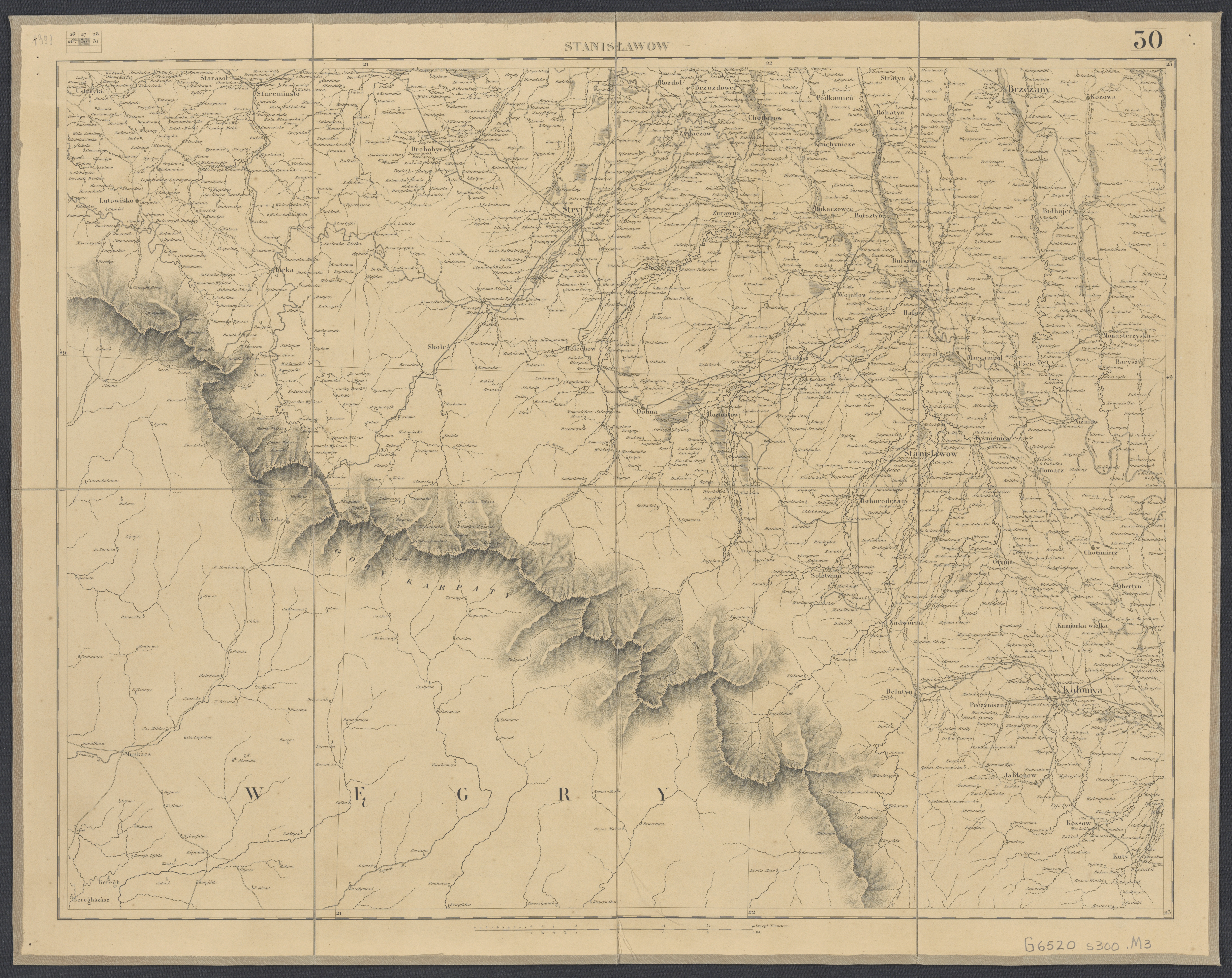
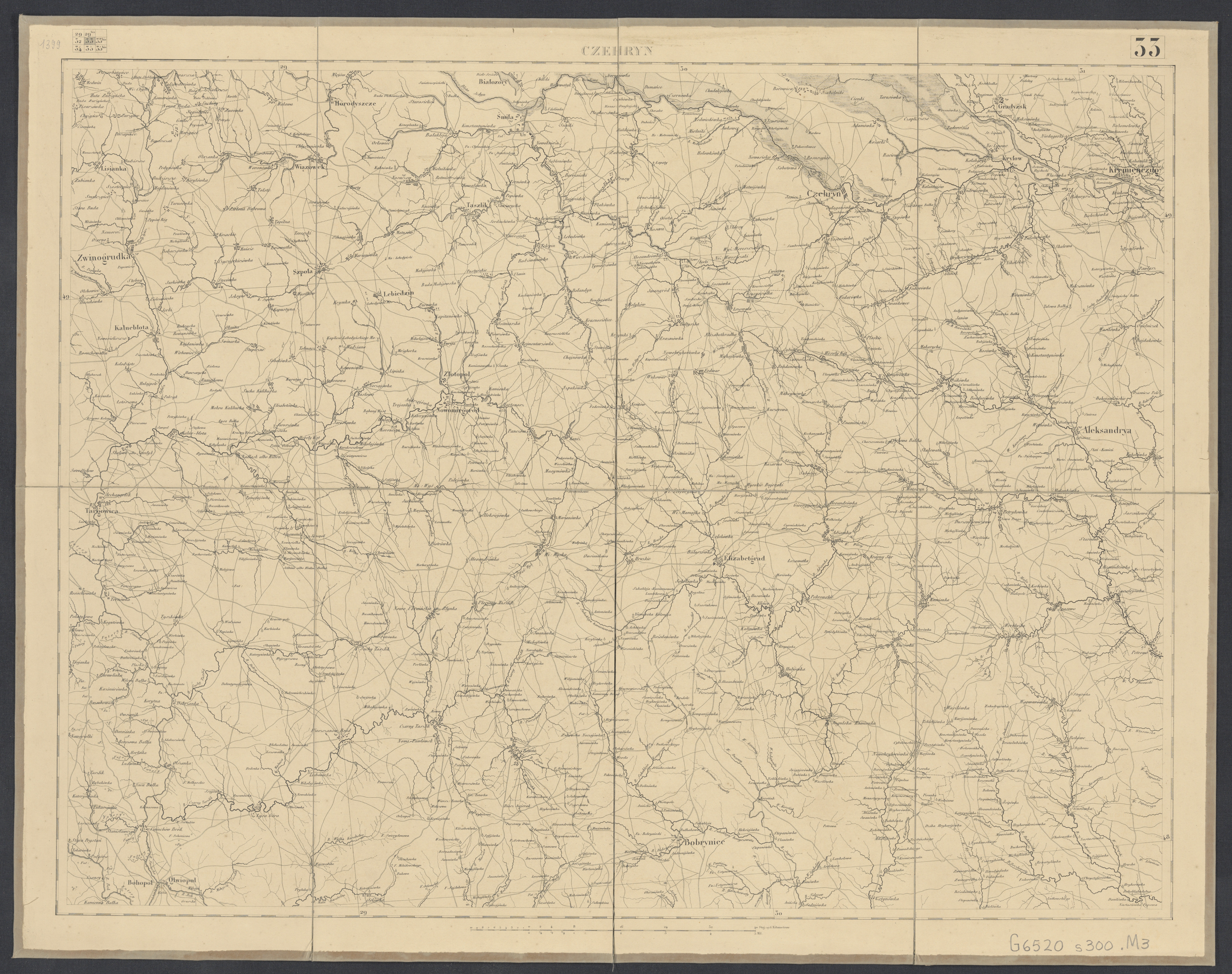
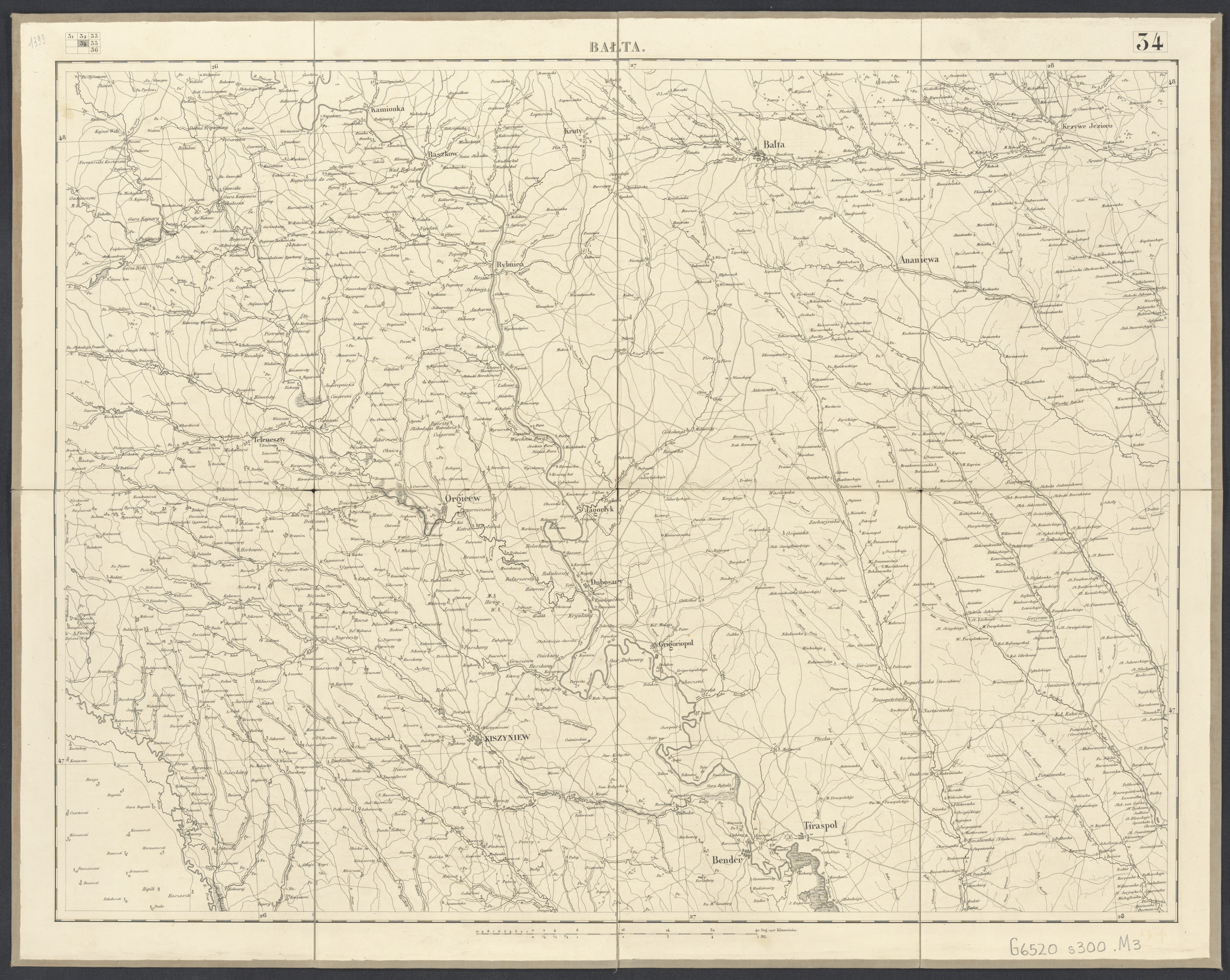
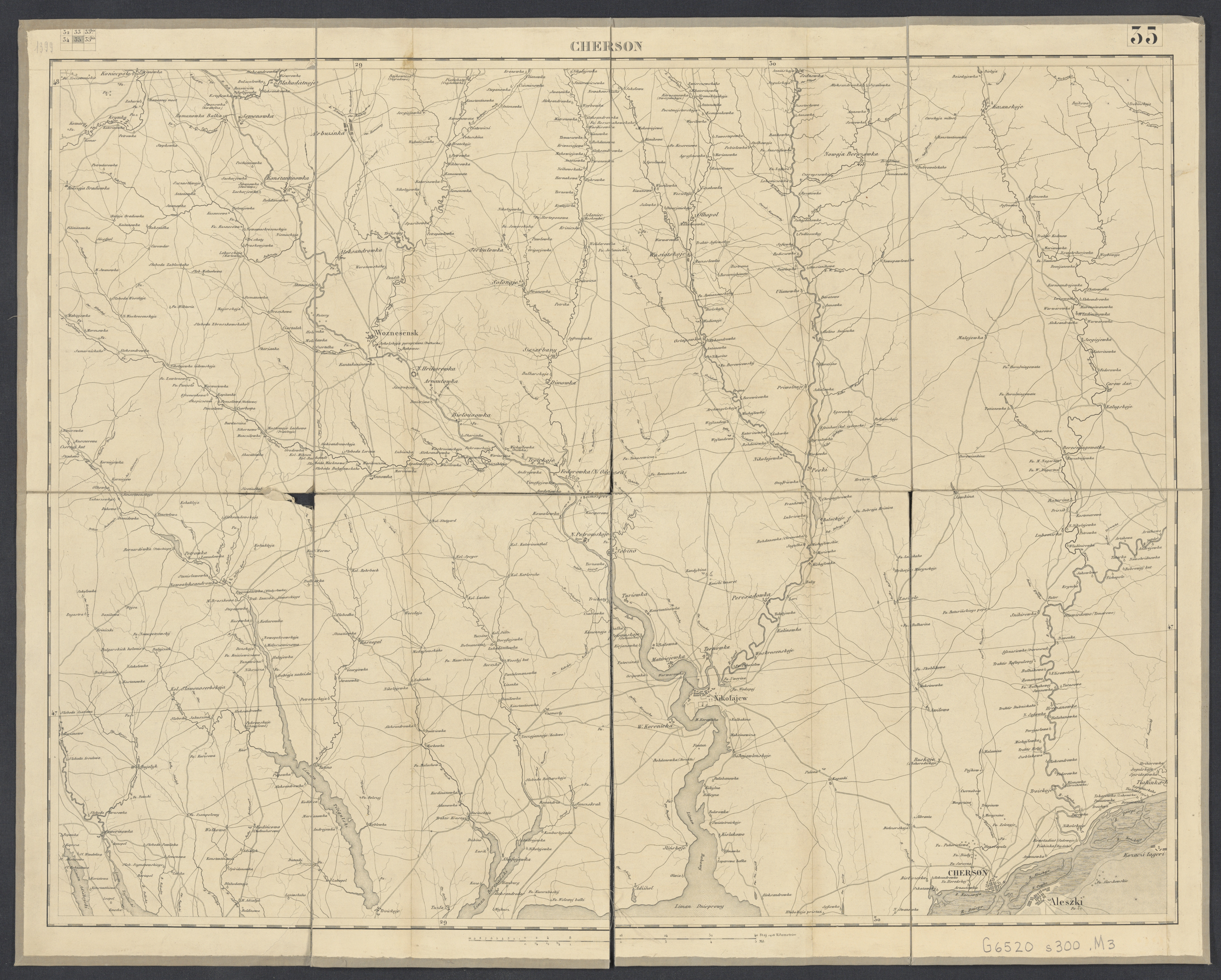
Topographic Map of the Kingdom of Poland
The Mapa topograficzna Królestwa Polskiego i części Rusi zachodniego ("Topographic Map of the Kingdom of Poland and Part of Western Ruthenia") is a key historical document created in the early 19th century. This map was produced during a period when Poland was partitioned and under the control of the Russian Empire. It provides detailed depictions of the Kingdom of Poland and the western parts of Ruthenia, now part of modern-day Ukraine.
The production process involved multiple stages, from initial surveys in the field to drafting and engraving. Cartographers would compile the collected data into draft maps, which were then transferred to copper plates or lithographic stones for mass printing. The resulting maps were often hand-colored to indicate political or geographical boundaries, elevation changes, and other relevant features.
This type of map not only served military and administrative purposes but also had significant value for the broader public, providing a clearer understanding of the geography of a changing region.
Scanned version from the Library of Congress
